
Notices to Mariners
Transmission of AIS as an aid to navigation
05 - 2014
Issue Date: Wednesday 1 January 2014
Aid:
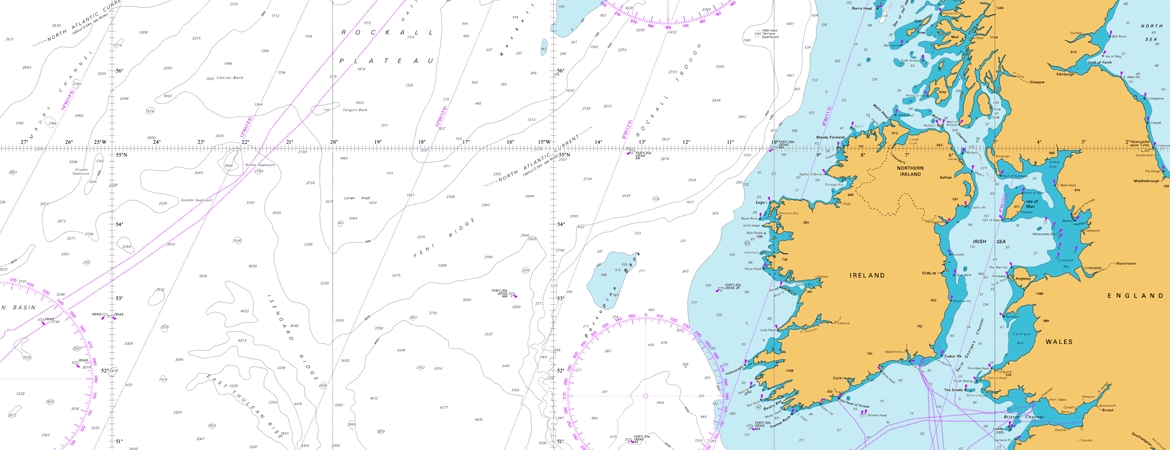
Area:
The Commissioners of Irish Lights have continued with the roll out of AIS Aid to Navigation functionality to a number of AtoN.
The following stations will be equipped with permanent AIS functionality in the period to March 2015.
|
NAME |
STATION TYPE |
Position (WGS84) |
MMSI # |
|
East Kish |
Buoy |
53°14.349'N, 005°53.618'W |
992501020 |
|
Moulditch |
Buoy |
53°08.430'N, 006°01.230'W |
992501022 |
|
South India |
Buoy |
53°00.349'N, 005°53.346'W |
992501030 |
|
Wicklow Head |
Lighthouse |
52°57.947'N, 005°59.889'W |
992501031 |
|
No.2 Glassgorman |
Buoy |
52°45.348'N, 006°05.343'W |
992501038 |
|
North Blackwater |
Buoy |
52°32.225'N, 006°09.520'W |
992501046 |
|
No.1 Rusk |
Buoy |
52°28.539'N, 006°11.799'W |
992501048 |
|
Roches Point |
Lighthouse |
51°47.586'N, 008°15.287'W |
992501099 |
|
Daunt |
Buoy |
51°43.531'N, 008°17.665'W |
992501102 |
|
Bulman |
Buoy |
51°40.136'N, 008°29.739'W |
992501104 |
|
Black Tom |
Buoy |
51°36.408'N, 008°37.959'W |
992501110 |
|
Loo |
Buoy |
51°28.438'N, 009°23.458'W |
992501119 |
|
Mizen |
Lighthouse |
51°26.991'N, 009°49.225'W |
992501127 |
|
Walter Scott |
Buoy |
51°38.541'N, 009°54.234'W |
992501128 |
|
Maiden Rock |
Buoy |
51°49.023'N, 009°48.034'W |
992501134 |
|
Cromwell Point |
Lighthouse |
51°56.022'N, 010°19.280'W |
992501141 |
|
Foot |
Buoy |
51°55.718'N, 010°17.072'W |
992501140 |
|
Doonaha |
Buoy |
52°35.545'N, 009°39.014'W |
992501154 |
|
Cannon Rock |
Buoy |
53°14.078'N, 009°34.352'W |
992501173 |
|
Cashla Bay |
Lighthouse |
53°15.834'N, 009°33.982'W |
992501171 |
|
Eeragh |
Lighthouse |
53°08.909'N, 009°51.402'W |
992501172 |
|
Carrickpatrick |
Buoy |
54°15.557'N, 009°09.141'W |
992501192 |
|
Blackrock Sligo |
Lighthouse |
54°18.460'N, 008°37.059'W |
992501195 |
|
Wheat Rock |
Buoy |
54°18.843'N, 008°39.099'W |
992501196 |
|
Rue Point |
Lighthouse |
55°15.533'N, 006°11.474'W |
992351131 |
|
South Briggs |
Buoy |
54°41.182'N, 005°35.732'W |
992351133 |
|
Governor |
Buoy |
54°39.360'N, 005°31.991'W |
992351134 |
|
Bar Pladdy |
Buoy |
54°19.344'N, 005°30.501'W |
992351135 |
|
Dunany |
Buoy |
53°53.530'N, 006°09.502'W |
992501243 |
|
Imogene |
Buoy |
53°57.415'N, 006°07.042'W |
992501238 |
AIS can also supplement navigational information by using AIS binary message 8 to transmit meteorological and hydrographical (met/hydro) data, or other data.
The following stations will be equipped with AIS Met/Hydro functionality in the period to March 2015.
|
NAME |
STATION TYPE |
Position (WGS84) |
MMSI # |
|
South Hunter |
Buoy |
54°52.691'N, 005°45.284'W |
992351007 |
|
South Rock |
Buoy |
54°24.478'N, 005°21.993'W |
992351004 |
|
Kish Tower |
Lighthouse |
53°18.650'N, 005°55.542'W |
992501017 |
|
Dublin Bay Buoy |
Buoy |
53°19.912'N, 006°04.646'W |
992501301 |
|
Power |
Buoy |
51°45.595'N, 008°06.679'W |
992501098 |
|
Kowloon Bridge |
Buoy |
51°27.580'N, 009°13.761'W |
992501118 |
|
Fastnet |
Lighthouse |
51°23.358'N, 009°36.178'W |
992501123 |
|
Loop Head |
Lighthouse |
52°33.672'N, 009°55.938'W |
992501161 |
|
Finnis |
Buoy |
53°02.812'N, 009°29.126'W |
992501164 |
|
St John’s Pt Donegal |
Lighthouse |
54°34.162'N, 008°27.657'W |
992501197 |
|
Foyle |
Buoy |
55°15.322'N, 006°52.616'W |
992501230 |
Met/Hydro data is provided on a ‘best endeavours’ basis and is not subject to the same availability criteria as AtoN. CIL would welcome user feedback on this service at navigation@CIL.ie.
For guidance on the use of AIS as an Aid to Navigation, mariners are advised to refer to CIL Notice 2014-03.
By Order, Yvonne Shields Chief Executive
